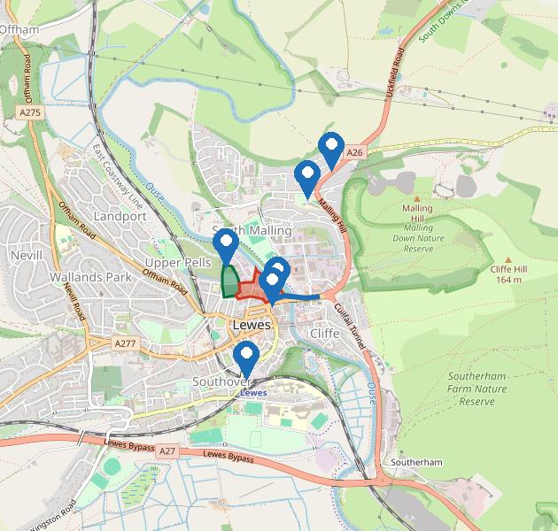
The image of the map uses the same colours as the interactive map.
| On the map | What it shows |
|---|---|
| Red area with a red outline | The appeal site. This is the red line boundary of the proposed development at Phoenix Industrial Estate, between Phoenix Causeway and the River Ouse. |
| Green area with a green outline | Wildlife and trees along the River Ouse, including riverbank habitat and trees protected by a tree preservation order. On the interactive map this area is hatched. |
| Blue line | The proposed construction access. Heavy goods vehicles would use Phoenix Causeway (A26) from Malling Street to the site entrance. |
| Pins | The site entrance on Phoenix Causeway, plus nearby facilities: Waitrose and town shops, Pells Pool, South Malling Primary School, Lewes railway station, and Malling Down Nature Reserve. These are labelled on the interactive map. |